The Portland metropolitan area spans multiple counties and is divided by the Willamette River. For buyers evaluating the local market, understanding the options for getting around Portland, OR, is a practical first step. The regional transit network includes light rail, buses, streetcars, and extensive bike lanes.
The Portland Bureau of Transportation manages local streets while regional agencies handle the broader transit network. Buyers looking at neighborhoods from the Pearl District to the Central Eastside should factor commute times and transit access into their housing budget.
How the Local Transit Network Operates
The regional transit infrastructure relies on a combination of light rail, commuter rail, electric streetcars, and a vast bus network. TriMet is the primary public transit provider for the metropolitan area, operating the majority of the rail and bus lines.
Bicycles and pedestrian pathways also play a major role in daily travel. Dedicated infrastructure, like the Tilikum Crossing bridge, allows residents to cross the Willamette River without competing against car traffic.
For those who drive, the highway system connects the central city to major employment hubs in Washington and Clackamas counties. Commute times vary depending on whether you live close to a major transit center or rely on street parking in denser neighborhoods.
Using TriMet Buses and the MAX Light Rail
The MAX Light Rail system includes five color-coded lines that connect downtown Portland to surrounding suburbs and the airport. Recent service adjustments in 2026 shortened the MAX Green Line, which now runs exclusively between the Clackamas Town Center and the Gateway Transit Center.
TriMet buses fill in the gaps between rail stations, with dozens of frequent service routes running every 15 minutes or less. Riders pay for both buses and the MAX using the Hop Fastpass system.
Fares are standardized across the TriMet network. An adult single ticket costs $2.80 and is valid for two and a half hours of unlimited transfers.
Riders can tap a Hop card, a contactless credit card, or a mobile wallet like Apple Pay at the station platform or bus door. The system automatically caps daily spending at $5.60 and limits monthly charges to a maximum of $100.
Inner-City Travel on the Streetcar and Tram
The Portland Streetcar operates on three distinct loops that connect dense central neighborhoods. These routes serve areas like the Pearl District, Downtown Portland, and the Central Eastside, moving at lower speeds than the MAX.
A standalone streetcar ticket costs $2.00 for two and a half hours, and children aged six and under ride for free. Passengers who already hold a valid TriMet pass can use it on the streetcar without paying an additional fare.
Further south, the Portland Aerial Tram connects the South Waterfront neighborhood to Marquam Hill. This specific route primarily serves medical workers and university staff, moving passengers up a steep elevation in just a few minutes.
For suburban commuters traveling from the southwest, the WES Commuter Rail provides a weekday alternative to highway driving. This line connects Beaverton to Tigard, Tualatin, and Wilsonville, linking directly to the broader MAX network.
Commuting by Bike and on Foot
Portland maintains hundreds of miles of dedicated bike lanes, neighborhood greenways, and paved multi-use paths. Cyclists use these routes to bypass vehicle traffic, particularly during peak morning and evening travel hours.
Residents who do not own a bicycle can use the Biketown bicycle-sharing system. These bright orange electric-assist bikes are stationed throughout the city and can be unlocked via a smartphone app for short, one-way trips.
Pedestrian access is also prioritized in the central core. Neighborhoods surrounding Pioneer Courthouse Square and Portland State University feature short city blocks and wide sidewalks, making it easy to run daily errands on foot.
Highway Access and Daily Driving
The regional highway system centers around Interstate 5, which runs north to south, and Interstate 84, which heads east toward the Columbia River Gorge. Interstate 405 forms a loop around the downtown core, while US-26 provides a direct route over the West Hills.
Commuters heading from central residential neighborhoods to the Silicon Forest in Washington County typically use US-26. During peak hours, the drive from the city center to tech campuses in Hillsboro can take between 45 minutes and an hour.
Parking availability depends entirely on the neighborhood. Downtown Portland and the Pearl District rely on metered street parking and paid garages, while residential areas further out offer free street parking and private driveways.
Rideshare services operate throughout the metropolitan area for those who prefer not to park. These services are popular for trips to the airport or late-night travel when bus frequency decreases.
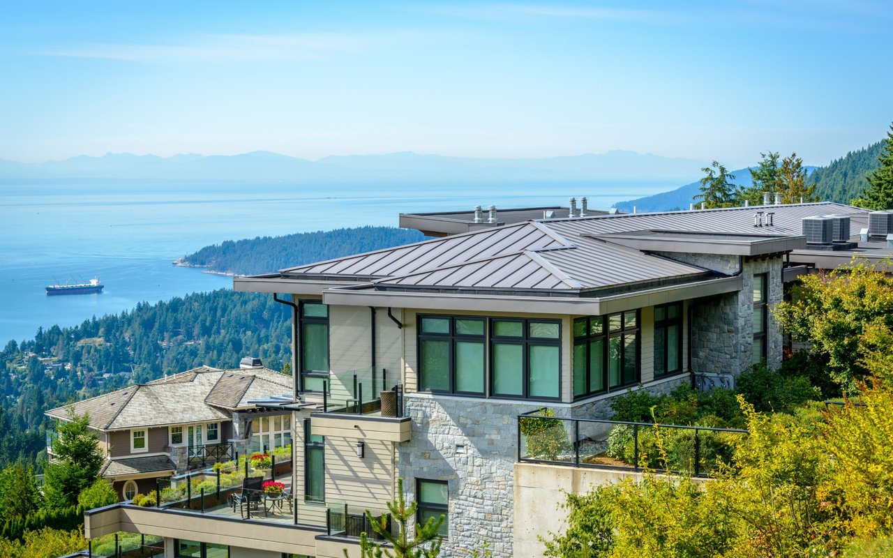
Home Prices Near Major Transit Hubs
As of the second quarter of 2026, the median home price in the Portland area sits between $512,000 and $535,000. Properties located within walking distance of a MAX station or major bus line often command a premium due to the added convenience.
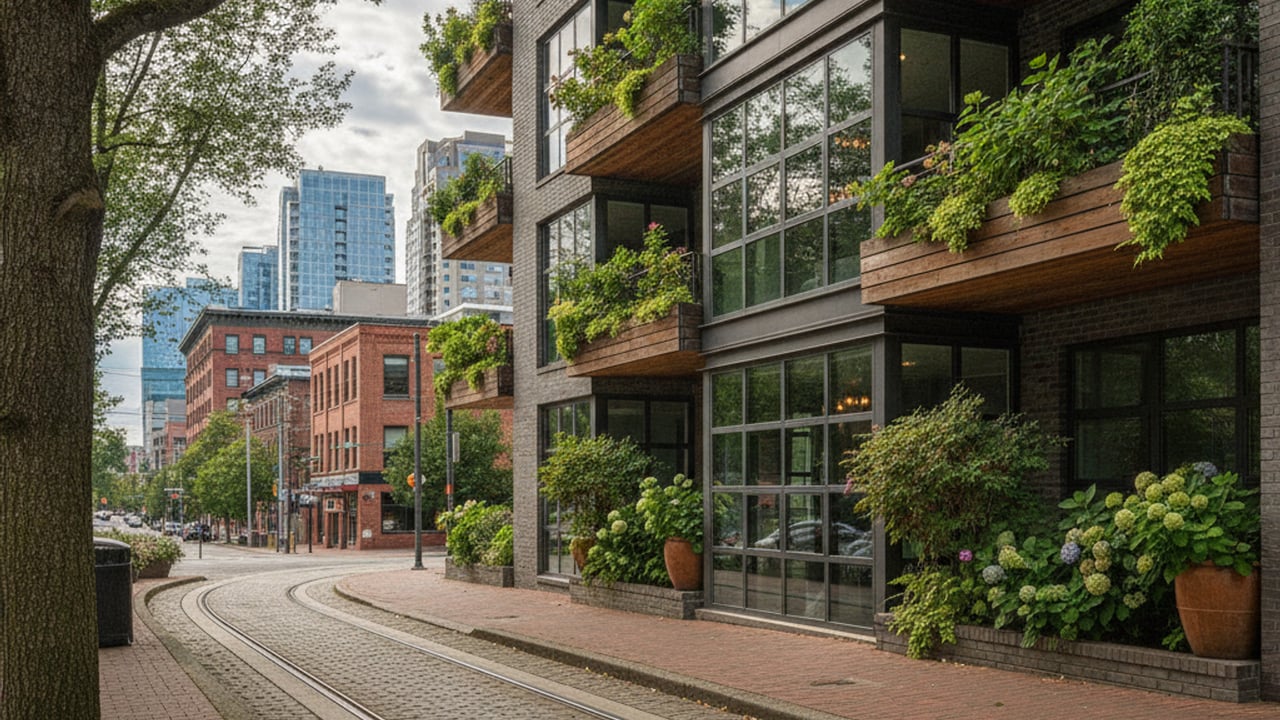
Housing types vary widely along these transit corridors. Buyers looking near the central streetcar lines will primarily find mid-rise and high-rise condominiums with monthly HOA dues.
Further out, neighborhoods like Hawthorne or suburban hubs in Beaverton offer single-family homes with yards. Buyers should factor their daily commute costs and preferred transit methods into their overall housing budget.
Common Transit Questions
How much does public transportation cost in Portland?
A standard TriMet adult fare is $2.80 and covers two and a half hours of travel across buses and the MAX Light Rail. If you use a contactless payment method, your daily costs cap at $5.60, and your monthly costs will never exceed $100. Standalone Portland Streetcar tickets cost $2.00 per ride.
Can you live in Portland, Oregon without a car?
Many residents in the central neighborhoods live comfortably without a personal vehicle. Areas like the Pearl District and Downtown Portland offer immediate access to groceries, healthcare, and multiple rail lines. If you purchase a home in the outer suburbs, you will likely need a car for grocery runs and weekend travel.
How do you get from PDX to downtown Portland?
The MAX Red Line runs directly from Portland International Airport to the city center. The trip takes about 40 minutes and drops passengers near Pioneer Courthouse Square and other major downtown hotels. You can tap a credit card at the airport station platform to pay the $2.80 fare before boarding.